
Mansfield Neighbors in Block Records
A block inquiry begins with land geography. The parcel map shows which polygons meet or sit near the selected parcel. The Auditor card is the next step for a recorded property-interest path. The Recorder can then supply instruments for a selected adjacent parcel, while historical directories can offer an older address-by-address listing after 1894. These sources are useful precisely because they do not promise the same thing. A parcel can lead to an owner of record, a directory to a published past resident, and a map to a physical relation between lots.
| Source | What It Shows About a Block | Access |
|---|---|---|
| Beacon parcel map and card | Adjoining parcel geometry, parcel identities, and a path to the owner record | Public land-record context; it does not list occupants. |
| Mansfield WebGIS | Address, ID, or name navigation with map layers and imagery context | Informational map supplied as is; confirm property facts with Auditor and Recorder records. |
| Recorder deed records | Document history for one selected adjoining parcel | CountyFusion web access from 1989 and Recorder terminal access back to 1814. |
| Historic street directory | Listed head of household at an address in a historic edition | Sherman Room; street browsing begins in 1894 and is not a current roster. |
| Ohio voter lookup | Registration and precinct inquiry for a named person | No open block browse; confidential and protected records are withheld. |
| Civic organizations | Public contact pathways for events, parks, and community history | No official citywide membership directory was located. |
Recorded ownership and occupancy must remain separate. An owner might be a trust, estate, organization, or person using another correspondence address. A map relation does not establish that two owners are neighbors in a personal sense, and it does not identify every person in a dwelling. The practical result is a documented block worksheet, not an assembled roster of Mansfield neighbors.
Mansfield Parcel Maps Come Before Names
Use the Richland County Beacon map or Mansfield WebGIS to find the subject location first. Beacon connects tax parcels to the Auditor record. City WebGIS provides search by ID, name, or address, a layer stack, imagery comparison controls, and selected export options. Those are useful ways to keep the subject parcel and the surrounding polygons visible while taking notes.
For the chosen parcel, the Auditor’s property card can show owner, location or situs, parcel identifier, legal description, and valuation, tax, land, improvement, sales, photo, sketch, and map categories. Actual detail varies by card. The situs is the taxed property’s physical location, not necessarily the tax mailing destination. Keep that difference visible in the worksheet so a correspondence field is not turned into a statement about where someone lives.
- Parcel
- A county land-record identifier for a specific tract or lot, used to connect an address to the Auditor card and map.
- Situs
- The physical location of the taxed parcel, distinct from an owner’s tax correspondence address.
- Contiguous parcel
- A mapped parcel that directly touches the subject lot. A right-of-way, alley, rail corridor, or vacant land can break that relation.
Map Mansfield Neighbors Parcel by Parcel
Work outward one parcel at a time. The research supports manual selection and browsing of the polygons next to a selected address. It does not confirm a named buffer, select-neighbor, or measurement tool in the current public WebGIS interface, so do not promise one. Each adjacent parcel needs its own record check. A map is the handoff to a property card, not proof of a household connection or association.
- Find the subject address in Beacon or City WebGIS and record the selected parcel number, situs, and access date.
- Zoom to the lot lines. Note each touching polygon by direction or relation, such as side, rear, front, corner, or separated by a right-of-way.
- Open each selected parcel’s Auditor card separately. Record its parcel identifier, displayed situs, displayed owner, and the source date.
- When deed history matters, use that parcel’s owner and legal-description clues in the Recorder search. CountyFusion is party and document based, not street-address based.
- Retain an alley, corridor, vacant lot, or noncontiguous space in the notes rather than forcing a false neighbor relationship.
For a complete named-street chain, the Mansfield by-street directory follows a different, broader address workflow. A block worksheet should stay focused on the selected lot and its direct map relations.
Mansfield WebGIS Provides Context, Not Proof
City WebGIS layers and imagery help place a parcel in its visible setting. The city’s terms warn that the mapping is supplied as is, that accuracy and completeness are not guaranteed, and that it is not a field-survey substitute. Use it to compare visible parcels and map context, then verify a recorded property interest with the Auditor card and a legal instrument with the Recorder.
The county GIS service identifies a TaxParcel layer and a maximum record count of 1,000, but that technical limit is not a way to build a people list. A map click can explain why two lots appear close or why a street sequence changes. It cannot identify utility customers, delivery recipients, every household member, or a current resident. Keep the screen, source URL, and access date with any map observation.
Note: A parcel boundary is land geography, and map adjacency alone is not evidence that people know each other or share a household.
Mansfield Voter Lookup Is Not a Block List
Ohio’s My Voter Information corrects a common block-search myth. The official tool begins with first name, last name, and county. For Mansfield research, select Richland County. A Street Name selector appears only after the initial criteria and narrows a named search. It is not an open list of all registered voters on a block. A named result may help check registration or precinct information, but a no-result does not show that someone never lived at the address.
Ohio’s official statewide database is the registration list under R.C. 3503.15, but R.C. 3503.13 protects sensitive fields and confidential voter records. Telephone, email, Social Security, state-ID, driver-license, protected worker, proof-of-citizenship, and confidential-registration information are not an open neighborhood resource. Ballot choices are secret. The Ohio voter lookup is therefore a narrow, name-first verification tool, not a method for discovering Mansfield neighbors.
Mansfield Neighbors in Historic Street Entries
For a past block, select one Mansfield city directory edition from 1894 or later. Copy only the short street sequence around the subject address, note the cross streets and number progression, and then consult the alphabetical entries for household context. Mansfield directories begin in 1858, but the address route begins in 1894. Earlier volumes require a name-led search paired with deed, atlas, or census evidence rather than a claimed street browse.
A directory can list a head of household, a wife’s given name in parentheses, or a widow with the deceased husband’s name in parentheses. It is a historic published listing, not proof that the person owned the property or stayed there throughout the year. A blank number may point to a vacant parcel, commercial space, changed address, unlisted occupant, or an edition or scanning issue. Sanborn maps and atlases can test those alternatives without turning a gap into a claim.
Mansfield Civic Contacts Without Member Lists
Mansfield’s official city material names civic and partner organizations, but the reviewed sources did not find an official umbrella neighborhood-association directory. The City’s Park Partners list identifies Friends of Liberty Park, Friends of Sterkel Park, North End Community Improvement Collaborative, Downtown Mansfield, Mansfield Garden Club, Destination Mansfield, Richland County Park District, the public library, and local faith or community organizations. These are public contact paths for community history, events, and park activity, not sources for a block roster.
| Public civic contact | Appropriate block use | Boundary |
|---|---|---|
| Friends of Liberty Park and Friends of Sterkel Park | Ask about public park events or local history activity. | Do not assume a participant or supporter lives on a selected block. |
| North End Community Improvement Collaborative and Downtown Mansfield | Use published organizational contact channels for community information. | No membership or address roster was located in the reviewed sources. |
| Mansfield Garden Club and local faith or community organizations | Look for publicly offered events, archives, or contact information. | Respect each organization’s privacy policy and ask before seeking any member information. |
| First Ward watch meeting or newsletter | Treat it as an example of a public community-contact channel. | It is not an official searchable resident directory. |
The City Community Development division is the appropriate follow-up for any current association or Block Watch contact list, publication status, and permission to reuse it. The number documented in the research is 419-755-9793. Do not infer private membership from a group name, an event notice, or a park partnership.
Mansfield Neighbors: Official Records Versus Commercial Tools
Official records identify a defined record relationship and name the custodian. Commercial neighbor-search tools combine public and commercial material, can be stale or mismerged, and often charge for reports. The official path is slower because it requires checking the map relation, property card, document, and date, but that separation reveals what an entry actually means. A directory listing, an Auditor owner, and a voter verification result should never be blended into one unqualified claim.
| Category | Useful for | Limit to keep visible |
|---|---|---|
| Official parcel and Recorder records | Parcel geography, recorded property interest, and document trail. | They do not provide a complete household roster. |
| Official historic directories | Address-linked, year-specific published household leads. | They are historical and can omit residents or use period abbreviations. |
| Official voter verification | Named registration and precinct inquiry within its public rules. | It is name-first, not an open block list, and protected records are withheld. |
| Commercial neighbor-search category | A possible lead only when independently checked with a custodian. | Accuracy, source date, and record linkage may be unclear. |
Mansfield Neighbors Have Privacy Boundaries
Some facts should not be reconstructed from a block map. Parcel maps do not disclose utility customers, delivery recipients, every renter, or everyone in a dwelling. A recorded owner may be a trust, estate, organization, or person using another correspondence address. Ohio Safe at Home keeps participant names out of the public statewide voter database and public official registration list, and eligible participants may use the program’s substitute address for voter registration and government correspondence.
Ohio law also protects voter and identity fields that do not belong in a neighborhood inquiry. When a public record needs correction or a person may qualify for a statutory protection, direct the request to the responsible custodian or confidentiality program. Do not try to solve an absence by combining unrelated sources. The record may be protected, outside the jurisdiction, stale, or simply not designed to answer the question.
Lawful use. Use Mansfield neighbors records for civic understanding, personal safety awareness, and documented property questions. Do not use any result to watch, harass, intimidate, or harm another person.
Mansfield Public-Safety Sources Stay Limited
Public-safety sources have a limited role beside, not inside, a neighbor lookup. The research identifies Ohio Department of Rehabilitation and Correction records as limited to people currently incarcerated in an Ohio prison, under DRC supervision, or judicially released. Its own caution says an address can lag and an at-large person’s display is a last recorded address, not current whereabouts. That makes it unsuitable as a block map or proof of who lives at a Mansfield address.
A capture of the Ohio DRC Offender Search shows a specialized state record source.
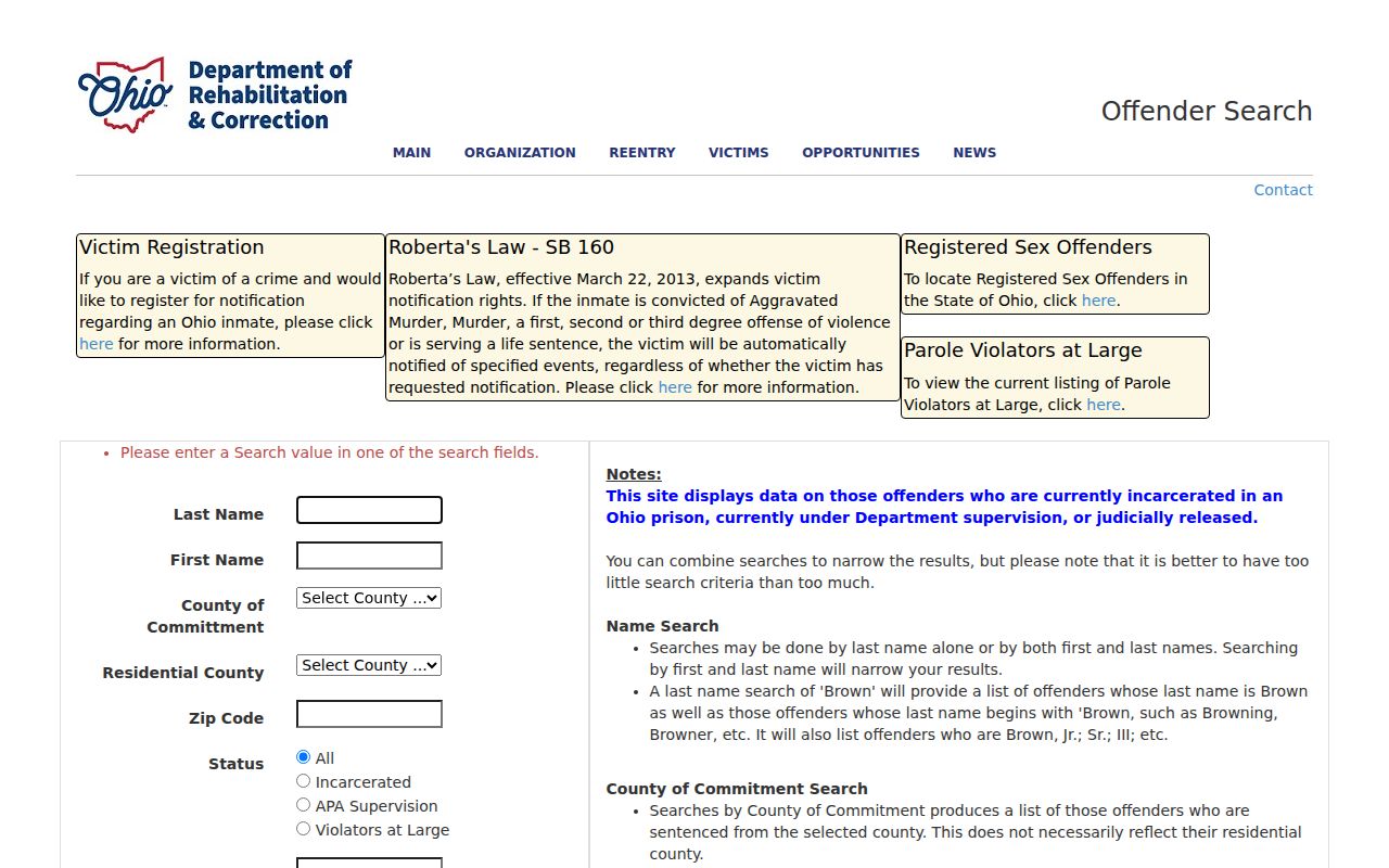
The screen belongs to a name, county, ZIP, status, or identifier search. It does not create a roster of Mansfield neighbors or current household evidence.
The Ohio Attorney General registry information describes an address-radius safety function. It may be used for safety awareness, but the research warns against using a registry as a general resident search, assuming the radius is complete, or publicizing someone’s information.
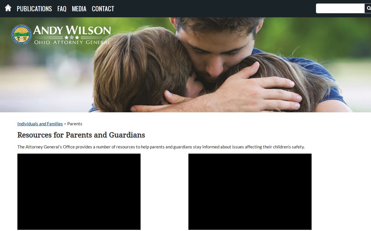
The registry image therefore remains a narrow safety-resource reference, separate from parcel, directory, and civic-contact research.
The Federal Bureau of Prisons locator has name and register-number routes for the federal population only.
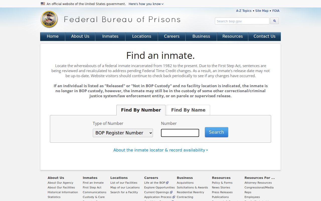
It is a specialized federal lookup, not a block record or evidence of a present Mansfield address. Keep it separate from any neighbor conclusion.