
Finding a Mansfield Street Directory
A street search works best as a record trail, not as an attempt to make a current list of everyone at each house. Begin with the Richland County Auditor property search. Its Location Address route can identify the current parcel, and the same system also accepts owner name, parcel number, section/township/range, and legal-description searches. Copy the displayed situs address, parcel number, legal description, and the date you viewed the card. Those details are the bridge to the Recorder, because the Recorder's online index is organized around people and documents rather than a street-address field.
For a historic address, first decide which question matters. The property card is a present tax and ownership lead. A deed records a transfer or other instrument. A Mansfield directory lists a head of household in a particular edition. The three sources can support each other, but they do not answer the same question. The Mansfield City Directories page covers the volumes themselves; use the address route here to preserve the parcel and street context before moving to an older listing.
- Enter the physical address in Beacon and select the correct suggested parcel.
- Save the parcel number, situs, legal description, and displayed owner as a current property reference.
- Search the owner and document clues in the Recorder's CountyFusion index, then inspect the latest relevant deed.
- Work backward by searching the prior seller as a grantee, keeping the legal description consistent at every transfer.
- For a year from 1894 forward, read the Sherman Room directory's street section, record cross streets, then check the alphabetical listing.
Note: Keep title, tax, and directory citations separate so a listed resident is not accidentally described as a recorded owner.
Mansfield Street Directory Search Fields
Beacon is the main current-address starting point for a Mansfield street directory search. The county and the Sherman Room's house-history guidance both point researchers to the parcel number and legal description before they pursue deeds. An address can change, and a removed building may no longer search cleanly by its former number. A parcel or recorded legal description usually survives that change better. The visible property framework also offers Summary, Valuation, Taxes, Land, Residential Improvements, Additions, Sales, Photos, Sketches, Map, and property-record-card reports, although a specific parcel may not populate every tab.
| Beacon field | Entry type | Street-directory use |
|---|---|---|
| Location Address | Text with suggestions | Finds a current physical location and parcel. |
| Owner Name | Text with autocomplete | Finds parcels tied to a recorded owner-name query. |
| Parcel Number | Text | Uses the county's unique parcel identifier. |
| Sec/Twp/Rng | Structured fields | Uses section, township, and range for land descriptions. |
| Legal Description | Text | Connects the parcel to recorded description language. |
The County Auditor is at 50 Park Ave. East in Mansfield, 419-774-5501, weekdays 8:00 a.m. to 4:00 p.m. The online card is useful, but the office remains the correction and records channel when the live display is unclear. A parcel number is a location key, not a household roster.
Mansfield Address Records by Street
Several Mansfield street directory sources are keyed to an address, parcel, or mapped location. Their limits matter as much as their access route. The Recorder's recorded instruments establish document parties and a land-description trail. The historical directory gives a published address listing only for its edition. A permit can date a regulated project at a location. None creates a complete, current list of occupants.
| Address record | Keeper | What it can show | Access boundary |
|---|---|---|---|
| Property card | Richland County Auditor | Owner, situs, parcel, legal description, value, sales, and map tabs. | Beacon; detail varies by parcel. |
| Recorded deed or lien | Richland County Recorder | Grantor, grantee, document type, recording data, and description as supplied. | CountyFusion web images from April 3, 1989; terminals reach 1814. |
| Street directory | John Sherman Room | Historical listed head of household and street sequence. | Address use begins in 1894. |
| Permit or code file | Mansfield Building and Codes | Application, project, and inspection path. | Not a full work or occupant history. |
| Sanborn or atlas map | John Sherman Room | Lot, structure, streetscape, and continuity context. | Does not identify residents. |
That division is useful for a family-history or house-history question. It also avoids a common error: treating a parcel map or tax card as proof of who personally lives in a dwelling.
Mansfield Street Directory Parcel Clues
The parcel card is packed with useful but narrow clues. Its identity and placement fields can show an owner-name result, location address, parcel number, and legal description. Its visible categories include valuation, taxes, land, residential improvements, additions, sales, photos, sketches, and map material. The property-record-card and map reports are exposed through the public search framework. Check the live card before relying on a value, a photo, or a particular historic field, because not every parcel carries the same detail.
- Parcel
- A county identifier for a tract or tax unit, used to connect a location with county property records.
- Situs address
- The physical location assigned to the taxed parcel, distinct from a tax correspondence address.
- Plat
- A recorded map of lots, blocks, additions, or boundaries that can help connect a legal description to a street.
- Criss-cross directory
- An address-oriented directory arrangement. Mansfield's city-directory street lookup begins in 1894.
The key is consistency. Compare the parcel number and legal description each time a map, deed, or older entry is added to the file. A familiar street number by itself is not enough when a lot was split, combined, demolished, or given a different number.
Mansfield Street Records and Mailing Addresses
A tax mailing field is not the same as a residence statement. The Auditor's card can show a correspondence address for tax notices, while the situs identifies the parcel's physical location. An owner may use a post-office box, another property, an agent, or an estate address. The Research file specifically cautions against turning either field into a conclusion about every person in a home. That is why a Mansfield street directory should label property evidence as a recorded property interest and use historic directory or other lawful sources only for the specific evidence they provide.
This limitation is not a defect in the search. It is the difference between a public tax record and a private household account. Utility, delivery, DMV, renter, and complete household data are not a public street directory.
Mansfield Deeds Along a Street
The Richland CountyFusion portal is the Recorder's public entry for name and document searches. It has no address search. Use the Auditor's owner, parcel, and legal-description clues first, then look for the relevant party and instrument. In a current deed, the buyer is the grantee and the seller is the grantor. To move backward, search that prior seller as a grantee to find the instrument by which the seller acquired the interest. Preserve the document type, recording date, parties, book/page or instrument number, and legal description with each step.
CountyFusion's web deed images begin April 3, 1989. That date is an important local access line, not an end to the land trail. The Recorder says deeds have been digitized back to 1814, with older images available at Recorder terminals. The office is at 50 Park Ave. East, Mansfield OH 44902-1861, 419-774-5602, weekdays 8:00 a.m. to 4:00 p.m.; recording ends at 3:45 p.m. Call before a long research visit, especially when a title chain must cross the online cutoff.
Note: A warranty deed, quitclaim deed, mortgage-related instrument, release, lien, or sheriff deed carries a different legal role, so retain the exact document label.
Mansfield WebGIS Street Context
The City of Mansfield WebGIS is the useful visual partner to the county parcel card. Its entry controls support a search by ID, name, or address, together with layers and imagery comparison. It can help a researcher see the street relationship around a selected parcel before checking the Auditor card or calling a city office. The city supplies the map as informational material and warns that its accuracy and completeness are not guaranteed. It is not a field-survey substitute.
Use the map to orient the search, not to make a personal conclusion. A contiguous polygon may show a physical relationship between lots, but it does not prove that owners are neighbors, occupants, or associates. For the immediate adjacent-parcel method, use the Mansfield Find Neighbors page after recording the selected parcel.
Mansfield Permit Records by Address
Mansfield Building and Codes provides the city route for permit, zoning, inspection, and code-compliance material tied to an address. Its Citizen Access guidance says to choose Search, then Building Permits or Search Applications. A known record number can be entered directly; without one, the detailed-search route narrows the inquiry. An application or permit is evidence of a regulated project, not proof that an applicant or contractor lived at the property.
The department's official permit page leads to the search path shown here.
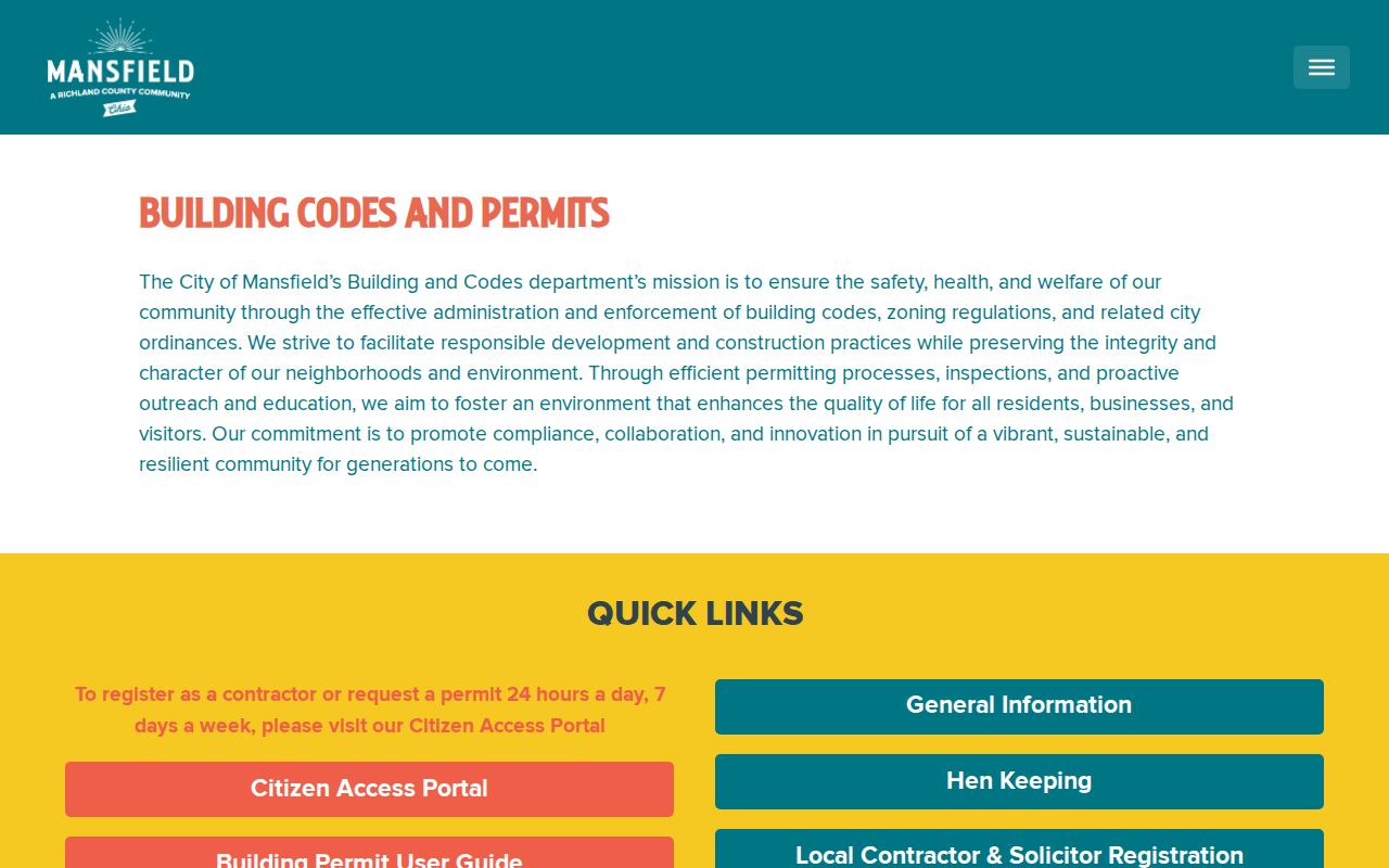
The page helps identify the agency to contact when a detailed search does not surface an older paper file. Building and Codes is at 30 N. Diamond Street, third floor, and can be reached at 419-755-9688 during its posted weekday hours of 7:30 a.m. to 4:00 p.m.
Mansfield Historic Street Directory Years
The John Sherman Room at the Mansfield/Richland County Public Library holds Mansfield city directories from 1858 to the present, but the street-address method begins in 1894. For 1894 and later, read the street section, note the cross streets and nearby sequence, then look up each listed head of household in the alphabetical portion. The listing can supply spouse or widow notation and other context. Before 1894, begin with a name and link it carefully through deeds, maps, or census evidence rather than pretending the early books are browsable by street.
Telephone directories from 1904 forward and Sanborn maps offer companion layers. The Sherman Room also holds Mansfield newspapers from 1823 forward with gaps, local maps, atlases, and historic indexes. Cross streets are a practical safeguard when a street name or number has changed. A matching number alone can point to the wrong house.
Limits of a Mansfield Street Directory
No Mansfield street directory is an all-resident roster. Beacon identifies tax parcels and recorded property relationships. CountyFusion identifies parties to recorded documents. City directories are published historical listings, and permits identify people involved with a regulated project. Ohio's voter tool is a name-first registration check that requires first name, last name, and county; it is not a browseable street roll. Protected voter records, Safe at Home participants, court-protected information, DMV material, and private utility accounts remain outside an open address search.
When an official index has no answer, the responsible path is specific: contact the custodian, provide a name or address, estimated dates, parcel or case number if known, and name the record series requested. Ohio's Public Records Act, R.C. 149.43 permits inspection during ordinary hours or copies at cost within a reasonable time, subject to lawful redactions. A focused request is more useful than an unsupported conclusion.