
Mansfield ZIP Code Directory Coverage
Mansfield uses the 44901 through 44907 postal series. One code is assigned to post-office boxes and six are standard delivery areas. Each listing is postal discovery context. It can help a reader choose a delivery check or recognize a shared mailing label, but an individual address still needs confirmation through USPS and a city or county map when jurisdiction matters.
| ZIP | Areas Covered | Post Office | Notes |
|---|---|---|---|
| 44901 | Mansfield postal label | PO Box | Not a physical-situs coverage area or neighborhood map. |
| 44902 | Mansfield core and delivery area | Standard delivery | City Building and Recorder addresses use this postal area. |
| 44903 | Mansfield, Ontario, Little Washington, and Pavonia references | Standard delivery | Use GIS or city boundaries for jurisdiction. |
| 44904 | Mansfield, Lexington, and Steam Corners references | Standard delivery | A postal label alone does not establish a municipality. |
| 44905 | Mansfield, East Mansfield, and Cool Ridge Heights references | Standard delivery | Keep postal labels distinct from wards and parcel jurisdiction. |
| 44906 | Mansfield and Ontario references | Standard delivery | The Richland Board of Elections is in this postal area. |
| 44907 | Mansfield postal area | Standard delivery | Richland Public Health uses this postal area. |
The Mansfield ZIP code directory therefore describes delivery geography, not a complete resident list. It also cannot replace a parcel search. Retain an alternate postal city returned by USPS as postal information, then check the actual municipal or county jurisdiction separately.
Mansfield 449 Postal Series
44901 needs special treatment because it is a PO Box ZIP. It is not a physical-situs area and should not be turned into a neighborhood label. The other six codes are standard delivery ZIPs, but their boundaries follow postal operations. USPS explains that its delivery system reflects mail volume, delivery area, location, and topography, not necessarily the boundaries people perceive or municipalities use.
That distinction matters when comparing a deed, a tax record, a city form, or an old directory. A Recorder instrument carries parties and a legal description. The Auditor relies on parcel, location, and legal-description fields. A tax mailing address is correspondence. A postal ZIP controls delivery. Historic Mansfield directories use street and number after 1894, while Sanborn maps rely on a map, lot, and street grid. Preserve each version rather than overwriting one field with another.
Note: A PO Box ZIP and a physical parcel address answer different questions, even when both use a Mansfield postal name.
Mansfield ZIP Code Border Overlap
Several Mansfield postal codes reach beyond a single municipal label. The 44903 references include Ontario, Little Washington, and Pavonia. The 44904 references include Lexington and Steam Corners. The 44905 references include East Mansfield and Cool Ridge Heights, while 44906 includes Ontario. A document that says Mansfield or carries a 449-series ZIP does not, by itself, establish that the address lies inside the City of Mansfield.
This is a local records-geography issue, not an inconsistency in the address. Pick the office by record type and actual jurisdiction. A county record path can cross postal areas without changing its custodian, while a city matter may require confirming the location on the city or county map. For an exact site, compare the USPS result with Beacon or City WebGIS rather than relying on a postal-city line.
Postal myth. USPS says a ZIP result does not prove that a person or company is at an address. Use the result to verify delivery information, never as proof of identity or presence.
Verify a Mansfield ZIP Code
The USPS ZIP Lookup tool is the authoritative delivery check for one address at the time of search. It offers ZIP by address, all ZIPs by City and State, and Cities by ZIP. The address route requires Street Address, City, and State. Company is optional, and unit and ZIP can be supplied when available. Save the standardized result and its date when a postal question affects later record research.
| USPS search mode | Fields and use |
|---|---|
| ZIP by address | Street Address, City, and State are required; Company is optional and unit or ZIP may be added. |
| All ZIPs by City and State | City and State are required; the result supplies postal discovery context for that city label. |
| Cities by ZIP | ZIP is required; the result returns associated city names, not a legal boundary. |
Repeat the check if an address is old, a property was subdivided, a rural route changed, or a form conflicts with the current city line. Postal boundary adjustments are formal and uncommon, not a continuously updated city map. A dated USPS result is strongest for delivery information, while a parcel map answers the jurisdiction question.
Mansfield ZIP Code Search Limits
None of the reviewed Richland local portals uses ZIP as an ordinary public search filter. This is an important limit on a ZIP code directory. Beacon searches by owner, location, parcel, section, township, range, and legal description. City WebGIS searches by ID, name, or address. Ohio's voter archive uses county, date, and election selection. Those tools cannot produce a supported ZIP-wide owner or voter roster.
| Local portal | Documented search fields | ZIP filter? |
|---|---|---|
| Richland Auditor Beacon | Owner name, location address, parcel number, section/township/range, and legal description | No ordinary user-facing ZIP filter documented. |
| City of Mansfield WebGIS | ID, name, or address, plus map layers and imagery controls | No ordinary user-facing ZIP filter documented. |
| Ohio voter data archive | Election, start date, end date, and county list | No ZIP search mode documented. |
Use a USPS-verified address to scope a manual address search, not to manufacture a ZIP residents list. The named voter lookup is also not an address browse: it starts with first name, last name, and county, then may offer a conditional street-name selector.
Mansfield ZIP Code Record Steps
A postal code becomes useful in records work when it leads back to one exact address. Start with the delivery question, then move through the address and parcel fields that the local systems actually support. Once the street is narrowed, the Mansfield by-street directory has the address-level record chain.
- Enter the exact street address with city and state in USPS, and retain the standardized delivery result and search date.
- Search that street address in Beacon to identify the selected parcel, legal description, physical location, and displayed owner record.
- Use City WebGIS by address to compare map context, layers, and imagery, recognizing its stated accuracy limits.
- For a recorded transaction, carry the parcel and legal-description information to the Recorder's name and document search instead of trying to search deeds by ZIP.
- For an older Mansfield address, compare cross streets, plats, Sanborn maps, and the directory street section before treating a changed street number as the same place.
Each handoff narrows a different question. The parcel links the address to local land records. The legal description helps maintain continuity when a building or street number changes. The Recorder's party-and-document route can then be evaluated as recorded-title evidence rather than as a postal result.
Mansfield ZIP Code City Limits
ZIP boundaries and City of Mansfield limits do not coincide. City Hall and the Recorder use 44902, the Richland Board of Elections uses 44906, and Richland Public Health uses 44907. The offices illustrate why postal location is only one part of a record path. An address associated with a Mansfield postal label can still require a county, Ontario, Lexington, or other jurisdictional check.
- ZIP+4
- The reviewed local research does not document a Mansfield portal that searches by ZIP+4. Verify a complete delivery address through USPS, then use the street address in local record systems.
- PO Box ZIP
- A ZIP assigned to post-office boxes. Mansfield 44901 is documented as this category and is not a physical-situs or neighborhood map.
- Unique ZIP
- No unique institutional ZIP is documented in the reviewed Mansfield 44901 through 44907 material. Do not infer one from a local institution's mailing address.
- Carrier route
- The reviewed local portals do not expose carrier route as an ordinary record-search key. It cannot replace a parcel, location address, or legal description.
When a USPS city name differs from a document, preserve both forms and ask which one answers the question at hand. The city or county map determines jurisdiction. The postal result determines current delivery context. A historic record may require cross streets and map evidence before either can be reconciled.
Mansfield ZIP Code Records Requests
When an online index cannot answer an address-specific question, the next step is a precise request to the custodian, not a broader ZIP claim. The Ohio Attorney General's public-records guidance describes the state's records framework, while the relevant office controls the actual record series, redactions, and copy procedure.
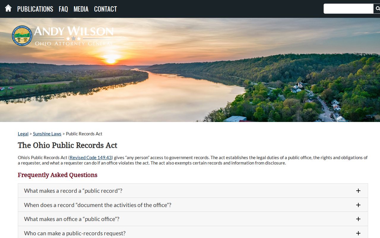
Name the address, approximate date range, record type, and jurisdiction. For an Auditor, Recorder, city, voter, or health-office request, that detail lets the custodian evaluate a defined record instead of treating postal geography as the requested record.
The Attorney General's 2026 Sunshine Laws Manual announcement notes that public-business content, rather than the messaging platform, governs whether a government record is public.

That rule does not create a ZIP-filtered resident list. It reinforces the need to ask for the specific record that a local office holds and to respect record-specific exemptions and redactions.
Mansfield ZIP Code History Checks
Historic maps resolve an address, not a past ZIP assignment. Mansfield's documented resources include an 1808 survey and plat, an 1856 county wall map, 1873 and 1896 atlases, later plat books, and Sanborn editions from 1887 through 1929 with later updates. The Sherman Room also holds city directories from 1858 to the present, with street-address retrieval beginning in 1894.
When an old directory number does not validate in USPS, return to the printed cross streets, plats, Sanborn maps, parcel legal description, and Recorder citations. A mismatched number can reflect a changed street, subdivision, demolition, or changed addressing. It is not proof that the historic directory entry was wrong. Keep the postal result dated and separate from the evidence used to establish an older location.
Note: No official single Mansfield ZIP-realignment or citywide renumbering record was located in the reviewed material, so a precise historical conversion should not be assumed.